

Monitoring Desk
ISLAMABAD: The first major US winter storm system of the year continued from the last couple of days, dumping a frosty mix of snow, freezing rain and slush from the Northern Plains to the Upper Great Lakes region on Tuesday. The ongoing situation alerts a tornado and flood alerts to a large swath of the South.
According to the National Weather Service (NWS) forecast severe snowfall of 1 to 3 inches per hour in different parts of Nebraska, South Dakota and Minnesota on Tuesday, added with thunder and more than twelve inches of snow expected to accumulate.
Drifting and blowing snow from sturdy, gusty winds was expected to make road travel almost impossible in some areas, while heavy snow fog, mist and freezing rain created treacherous driving situations in others, the NWS said.
According to NWS, winter, ice storm warnings and winter weather alerts were posted in and in the suburbs of Minneapolis and St. Paul in Minnesota as icy rain swept north through the region, followed by bands of heavy snow.
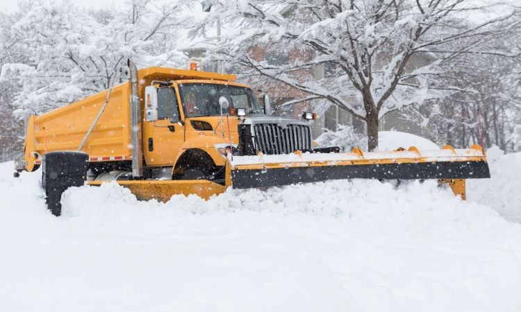
Snow hitting parts of the US
According to an official Richard Bann from NWS Weather Prediction Center in Maryland about six inches of snowfall occurred in the Twin Cities and about 4 inches at Minneapolis-St.Paul International Airport by Tuesday evening.
Meanwhile, the chilly conditions, expected to reach into New England by Wednesday, was part of a heavy weather system bringing heavy showers, severe thunderstorms, hailstorm and tornadoes to the lower Mississippi Valley, Gulf Coast, Tennessee Valley as well as to the southern Appalachians.
Tornado and severe thunderstorm warnings were on board in most parts of Louisiana, Mississippi, Alabama and Georgia, as well as flood warnings along the southern fringe of the same area.
The NWS placed eight tornado reports as of Tuesday night, along with over a dozen of instances of high winds causing damage to buildings, trees, power lines and homes.
According to NWS meteorologist Allison Santorelli the heavy snowfall is happened on the west to northern side of the storm, and the rainfall and severe weather condition is across the south.
According to flight tracker FlightAware, more than 200 flights at the Minneapolis-St.Paul airport were canceled on Tuesday.
Meanwhile, the West Coast braced for another atmospheric river from Wednesday, a high-altitude current of dense moisture, that was expected to bring icy rains and more flooding to northern and central California.
Meanwhile Northern California was still recovering from a weekend Pacific storm and rain that triggered floods, mudslides, power outages and road closures in different locations.
According to data received from poweroutage.us more than 21,000 homes and business centers in northern California and suburbs were without electricity by early on Tuesday.