
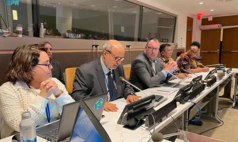


RIYADH: A Saudi delegation participated in a high-level meeting at the United Nations headquarters in New York, where they put forward proposals to implement the strategic goals of the Arab Committee of UN Experts for Geospatial Information Management. The meeting aimed to explore ways to leverage the expertise of the Arab committee to benefit all member countries.
As the chair of the Arab committee through its geospatial authority, the Saudi delegation emphasized the significant contributions made by Arab countries in the field of geospatial information management. They underscored the importance of enhancing communication and collaboration among member states to overcome challenges collectively and achieve impactful results.
During the meeting, the delegation reviewed the work carried out by Arab countries in relation to the High-Level Group of the Integrated Geospatial Information Framework. They also highlighted the contributions made by Arab countries to the group’s plans while discussing the strategic plans and progress of their work in alignment with current goals and priorities.
Significance of Geospatial Information Management
Geospatial information management plays a crucial role in various sectors, including urban planning, disaster management, environmental monitoring, and sustainable development. By actively participating in the UN’s Integrated Geospatial Information Framework, Arab countries aim to harness the power of geospatial data to address common challenges and enhance decision-making processes.
The high-level meeting provided a platform for sharing experiences, best practices, and innovative approaches to geospatial information management. The Saudi delegation’s proposals sought to foster collaboration among member states and capitalize on the diverse expertise and resources within the Arab region to advance the goals of the UN framework.