


ISLAMABAD: Pakistan is set to launch an advanced hyperspectral satellite next month, designed to support the exploration of underground mineral resources and support research in areas such as agriculture, forestry, wildlife, flood monitoring, glacier melt, air pollution, and smog.
“The hyperspectral satellite, scheduled for launch in October, will analyse different wavelengths of light reflected from the Earth’s surface, generating precise information about minerals, vegetation, soil, and water quality. Surveys that previously required years and cost millions can now be completed in just days and at a fraction of the expense. This advancement will enable Pakistan to independently map its mineral reserves and pave the way for more efficient use of natural resources,” said Chairman of Pakistan’s space body Muhammad Yousaf Khan.
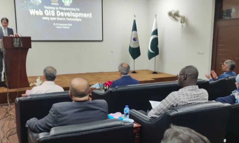
Speaking at the opening session of a five-day training workshop in Lahore, held under the auspices of ASNET (the Intra-Islamic Network on Space Sciences and Technology), Yousaf Khan stated, “Pakistan is not only taking a leading role among OIC member states but is also making significant strides in space and satellite imaging.”
The workshop, running from September 22 to 26, includes participants from Iraq, Senegal, Libya, Türkiye, and Tunisia. It aims to provide training in web-based GIS development using open-source technologies, equipping attendees with the skills to integrate satellite data into practical applications across various sectors.
Dr. Muhammad Mansha, head of web applications development at SUPARCO, said, “The use of open-source technologies for web GIS is a fundamental need of the present era. Such training will allow experts to integrate sectoral data with satellite imagery to create applications useful for agriculture, environmental monitoring, and disaster management. This technology will empower researchers and policymakers to make decisions that are both timely and evidence-based.”
He added, “Hyperspectral imagery provides much more detailed data than conventional satellite imaging, capturing hundreds of spectral bands in every pixel. Globally, this technology is being applied in environmental monitoring, species identification, and pollution control. While Pakistan already operates remote sensing satellites for agriculture and disaster management, the new hyperspectral satellite is expected to multiply these capabilities many times over.”
International participants noted that “the ongoing workshop in Lahore is not only strengthening technical capabilities but also paving the way for greater collaboration and innovation.”
Officials from SUPARCO expressed confidence, stating that “this program will help Pakistan further solidify its standing in advanced space technologies and serve as a model for other countries in the region.”