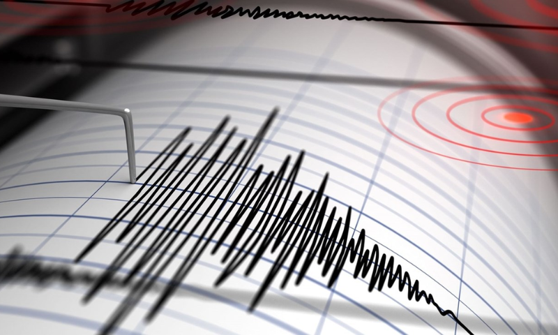


LIMA: A powerful earthquake with a magnitude of 6.3 struck off the coast of southern Peru on Sunday, according to the Geophysical Institute of Peru. The quake was centered in the Pacific Ocean at a depth of 25 kilometers (16 miles) off the coast of the Arequipa department, the government scientists said.
There were no immediate reports of material or personal damage, and the government decided against activating the tsunami warning system.
The US Geological Survey (USGS) reported a slightly lower magnitude of 6.0, with the epicenter at a depth of 19.9 kilometers. Despite the discrepancies in magnitude and depth, both agencies confirmed the significant seismic activity in the region.
The National Institute of Civil Defense issued a statement noting that “at the moment no material or personal damage is reported.” The statement also mentioned that the quake was perceived as “between moderate and strong by the population.”
Peru, with a population of approximately 33 million, is located within the Pacific Ring of Fire, an area known for its intense seismic activity. This region, which runs along the west coast of the Americas, experiences hundreds of detectable earthquakes each year.
The decision not to activate the tsunami warning system was based on assessments by government scientists who determined that there was no immediate threat of a tsunami following the earthquake.
Peru is hit by hundreds of detectable quakes every year.